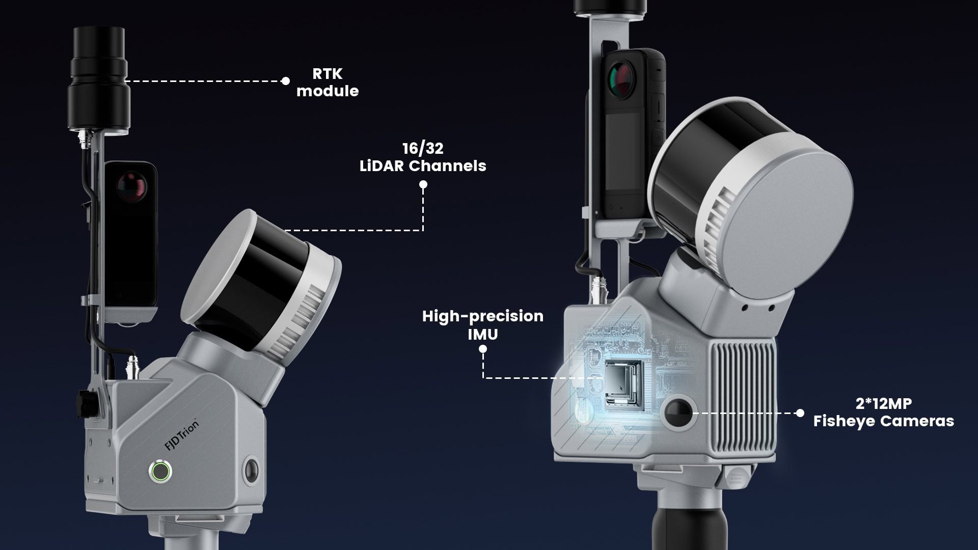
Achieves relative accuracy up to 1.2 cm and captures up to 640,000 points per second, ensuring precise and detailed 3D models.
Extended Scanning Range:
Capable of scanning up to 300 meters, suitable for large-scale projects and diverse environments.
Wild Field of View:
Offers a 360° × 270° LiDAR field of view, capturing comprehensive spatial data in a single pass.
Advanced SLAM and VIO Algorithms:
Utilizes cutting-edge Simultaneous Localization and Mapping (SLAM) and Visual-Inertial Odometry (VIO) algorithms for real-time, high-quality point cloud generation without the need for GPS.
Integrated RTK Module:
Utilizes cutting-edge Simultaneous Localization and Mapping (SLAM) and Visual-Inertial Odometry (VIO) algorithms for real-time, high-quality point cloud generation without the need for GPS.
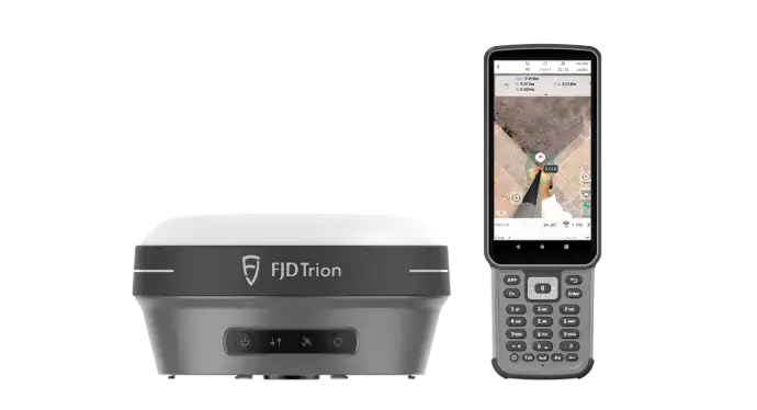
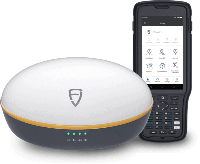
Multi-Module Integration
Provides georeferenced point clouds on the go, with RTK and PPK support ensuring accurate data collection even in challenging environments
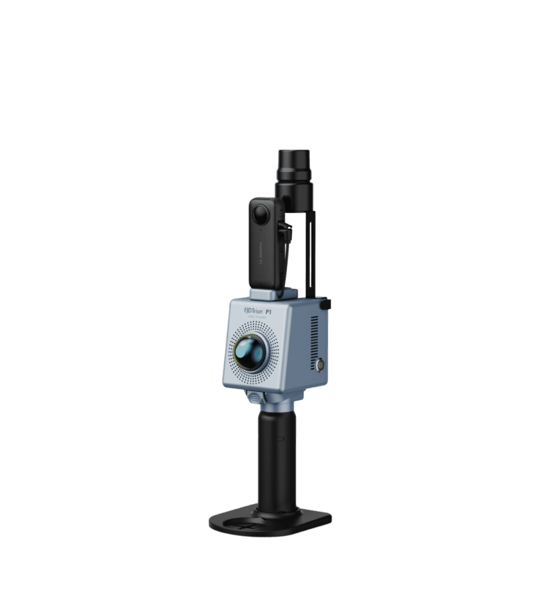
Versatile Mounting Options:
Offers immediate point cloud visualization during scanning, enabling on-the-spot verification of data quality.
Extensive Coordinate System Support:
Supports over 8,000 coordinate systems, eliminating the need for manual conversions and streamlining the workflow.
Highlights
The FJD Trion S2 LiDAR Scanner is a portable, handheld device designed to generate high-quality and reliable point clouds using advanced VIO and SLAM algorithms. It supports more than 8000 system configurations, eliminating the need for time-consuming manual system adjustments. With its integrated FJD Trion Scan and Model software, and practical applications such as stabilizer vests, UAV mounts, vehicle mounts, and robot-dog mounts, the Trion S2 improves data collection and processing efficiency in field surveying projects.