Visual Measure and AR StakeOutMax tilt 60°, Calibration-free
Built-in 4G LTE and UHF. NFC, WiFi, Bluetooth
1408 chanels, Full Constellations
Benefits and Performances
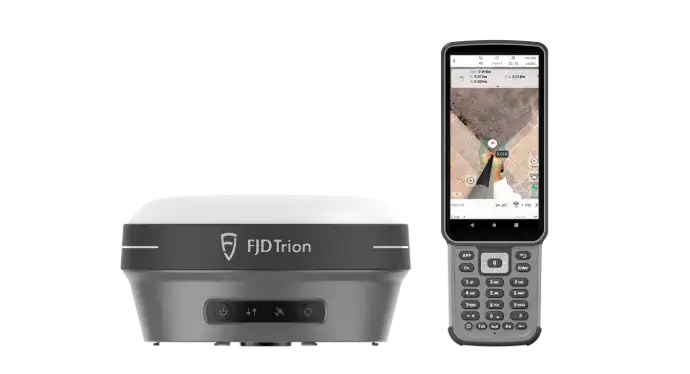
Dual High-Resolution Cameras:
Equipped with a 2MP front camera and a 5MP bottom camera, the V10i provides clear imagery for precise measurements. These cameras support functionalities like Visual Measure and AR StakeOut, facilitating real-time visual guidance and enabling measurements in hard-to-access locations.
IMU-Based Tilt Compensation:
The system supports a maximum tilt of 60° without requiring calibration, allowing for flexible and efficient data collection even on uneven terrains.
High Accuracy:
Delivers horizontal accuracy of 8 mm + 1 ppm RMS and vertical accuracy of 15 mm + 1 ppm RMS, ensuring reliable and precise data for various surveying applications.
Robust Design:
With an IP68 rating and 2-meter drop resistance, the V10i is built to withstand harsh environmental conditions, ensuring durability and consistent performance in challenging field environments.
Comprehensive Connectivity:
Features built-in 4G LTE, UHF, NFC, Wi-Fi, and Bluetooth, providing versatile options for data transmission and device integration.
Extensive Satellite Tracking:
Supports 1,408 channels, enabling tracking of all major satellite constellations, including GPS, GLONASS, Galileo, BeiDou, QZSS, IRNSS, and SBAS, ensuring reliable positioning in various environments.
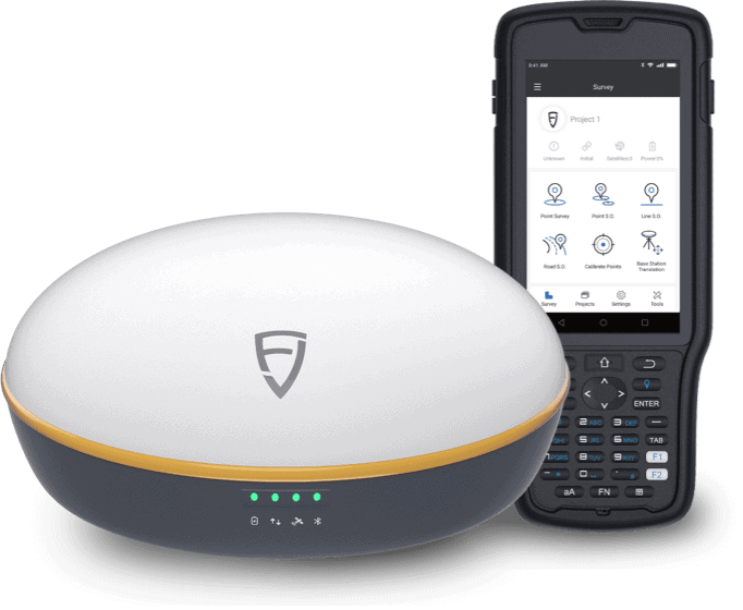
User-Friendly OLED Screen:
The integrated OLED screen displays real-time working status, enhancing user interaction and operational efficiency.
Application Scenarios
Cadastral survey
Topographic survey
Bridges and roads
Construction
River and coastline
Utility infrastructure
Highlights
The FJD Trion™ V10i GNSS System is an advanced surveying instrument that integrates visual positioning technology to enhance measurement accuracy and efficiency.